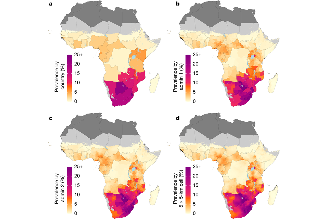
A new study co-authored by Jessica Justman, MD, Senior Technical Director at ICAP at Columbia University and Associate Professor of Medicine in Epidemiology at Columbia’s Mailman School of Public Health, captures the evolution and variation of the HIV epidemic over space and time in sub-Saharan Africa by using detailed provincial- and district-level maps of HIV prevalence in each country, down to the level of a small city.
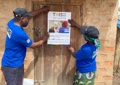
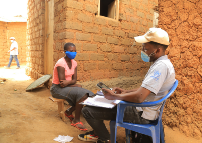
The study, published in Nature, was conducted at the Institute for Health Metrics and Evaluation (IHME) at the University of Washington, and is the first to map a comprehensive and comparable set of subnational HIV prevalence estimates. The study focuses on adults ages 15-49 years in 47 sub-Saharan African countries over a period of almost two decades. It includes data from ten countries involved in the global Population-based HIV Impact Assessment (PHIA) Project, funded by the US President’s Emergency Fund for AIDS Relief (PEPFAR) and implemented by ICAP in partnership with the U.S. Centers for Disease Control and Prevention (CDC).
“This research provides an unprecedented level of detail, down to 5×5 km cells, about the local scope of the HIV epidemic in sub-Saharan Africa between 2000 and 2017,” noted Dr. Justman, “As we have seen with PHIA survey results, the findings in this paper demonstrate just how varied the epidemic is within and across countries.”
HIV remains a leading cause of illness and death in sub-Saharan Africa. Despite the rapid scale-up of antiretroviral therapy (ART), according to UNAIDS, 34% of people in east and southern Africa and 60% in west and central Africa living with HIV are currently not receiving any treatment.
The newly published precise geographic maps of HIV prevalence will be an important tool to more efficiently target HIV resources and interventions. They reveal that most countries had or have more than a two-fold difference in prevalence between provinces and districts and in one quarter of the countries, the largest difference was over five-fold. The maps also demonstrate how existing national HIV prevalence maps obscure hotspots visible only with the finer 5×5 km-resolution maps used in this study.
The results show high variation in HIV prevalence and changes in prevalence over time within countries, with many areas experiencing increases in the same period where others experience declines. It found that one-third of people living with HIV live in a small number of densely populated areas while another one-third live in relatively sparsely populated areas. These findings highlight the changing HIV landscape and underscore the need for current and local data to understand the nuances of the epidemic in sub-Saharan Africa.
This study is another example of how the PHIA Project is providing nationally-representative, population-level HIV data to understand the extent of the HIV epidemic in sub-Saharan Africa. It also underscores the need to continue conducting HIV-focused population-based surveys to guide targeted treatment and prevention efforts in high-concentration areas.
“There’s an increasing appreciation that this epidemic is even less homogenous than people have imagined,” says Wafaa El-Sadr, MD, MPH, MPA, Director of ICAP, during an interview with NPR, “This kind of data helps to prompt other research questions: Can we do different kinds of interventions in these places?”
The results of this analysis provide a new tool for policymakers, program implementers and researchers to assess local needs and make more informed policy, programming and funding decisions to achieve global HIV prevention, diagnosis, and treatment targets.
This study was supported by The Bill & Melinda Gates Foundation and led by the Local Burden of Disease project at IHME, University of Washington. It is available at IHME’s website at www.healthdata.org. Data visualizations are available at https://vizhub.healthdata.org/lbd/hiv.


